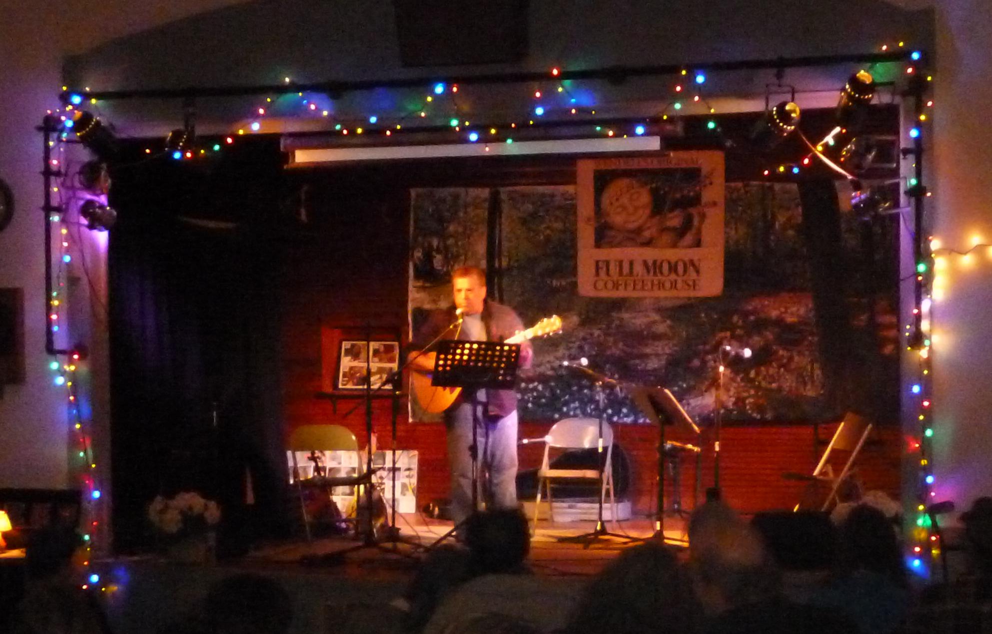
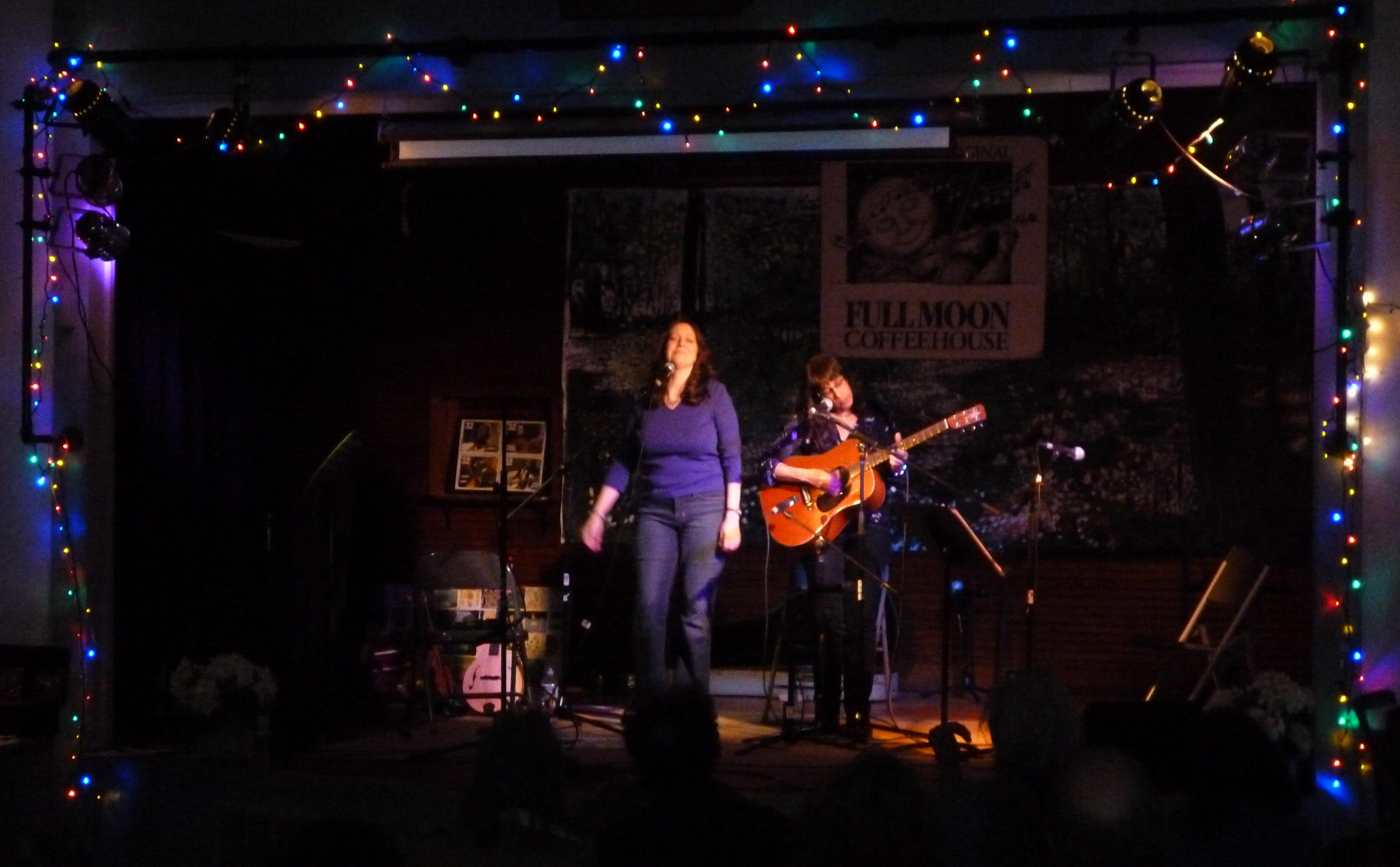
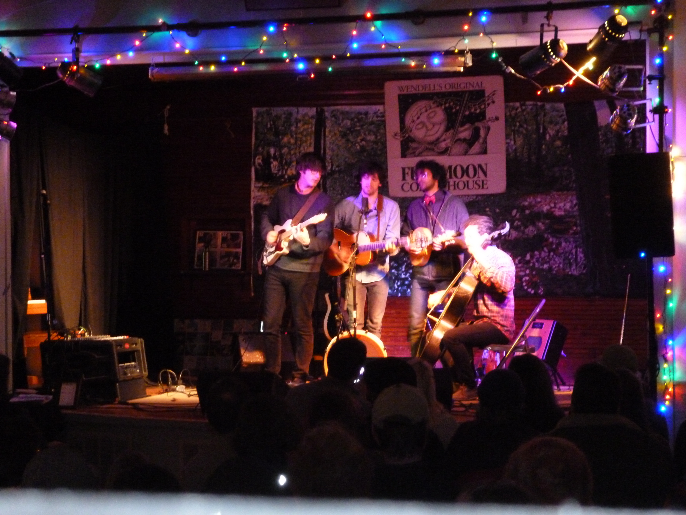
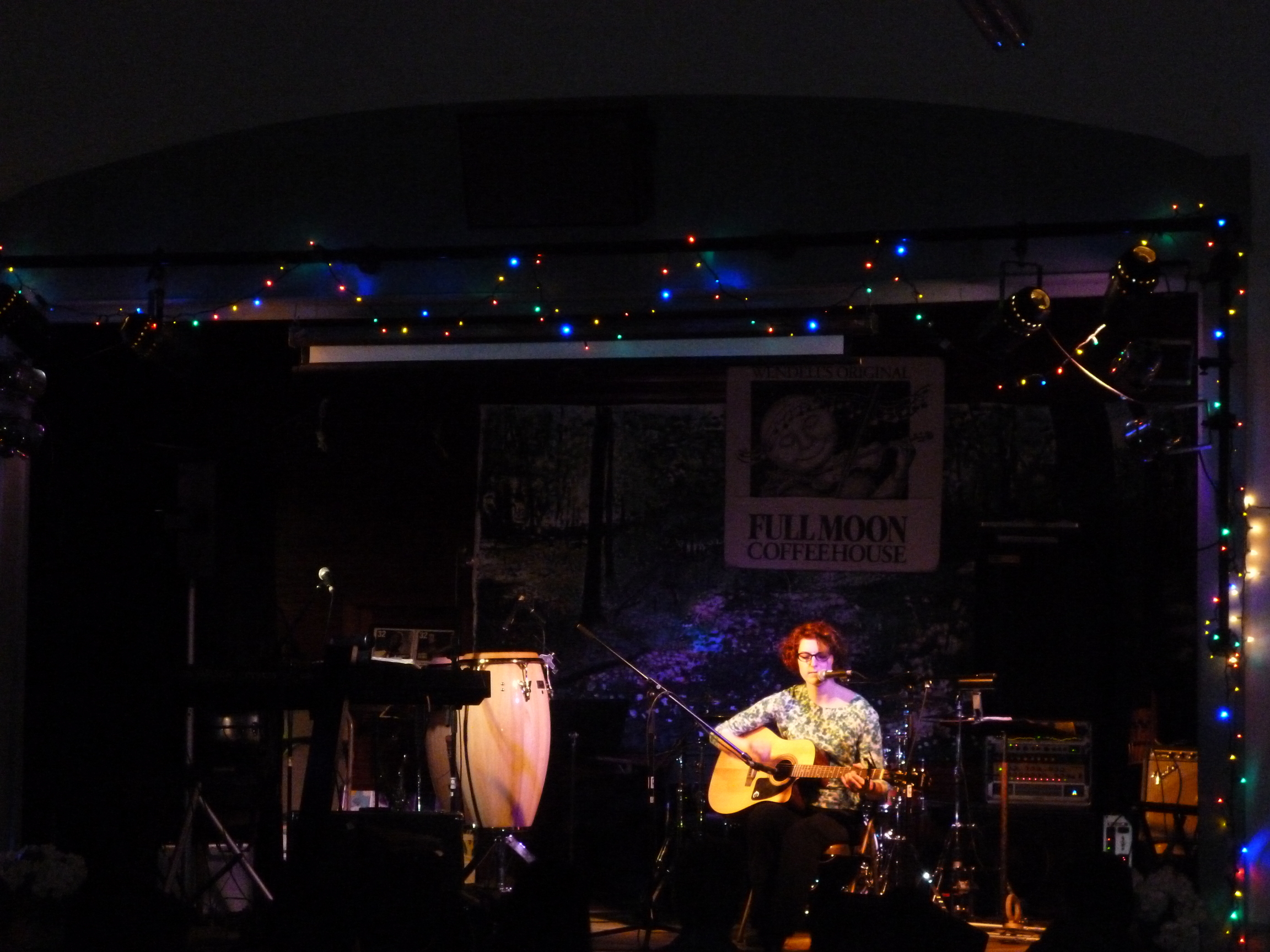
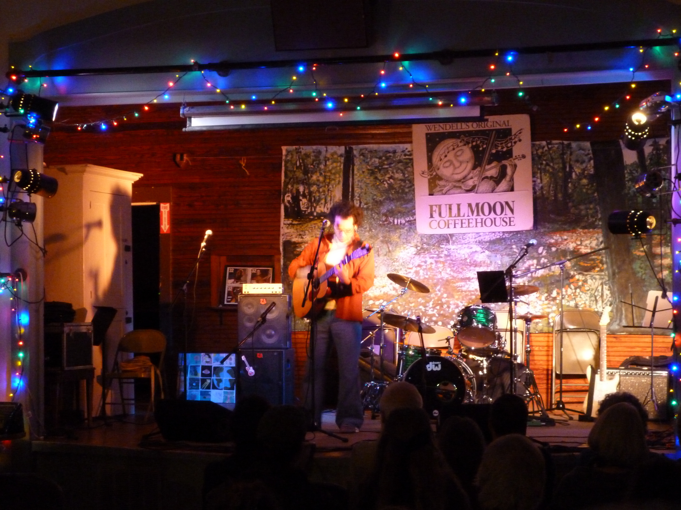
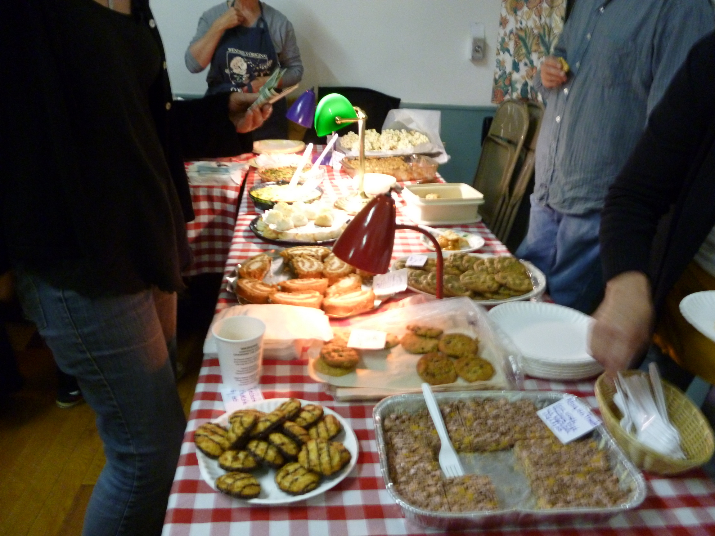
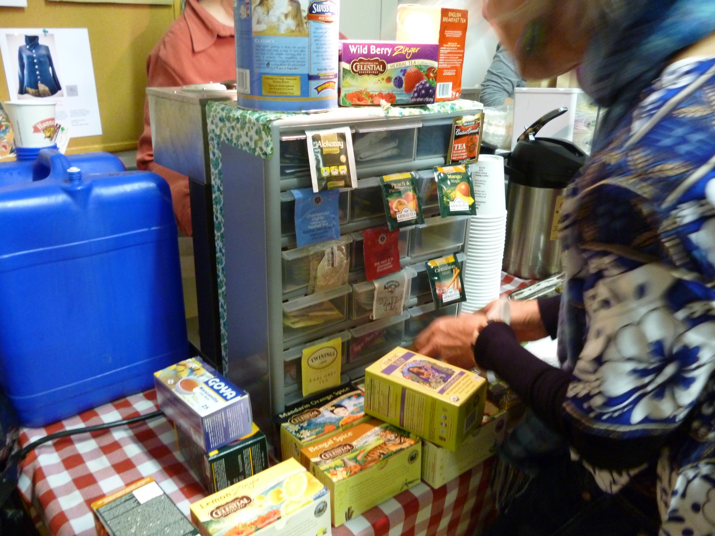
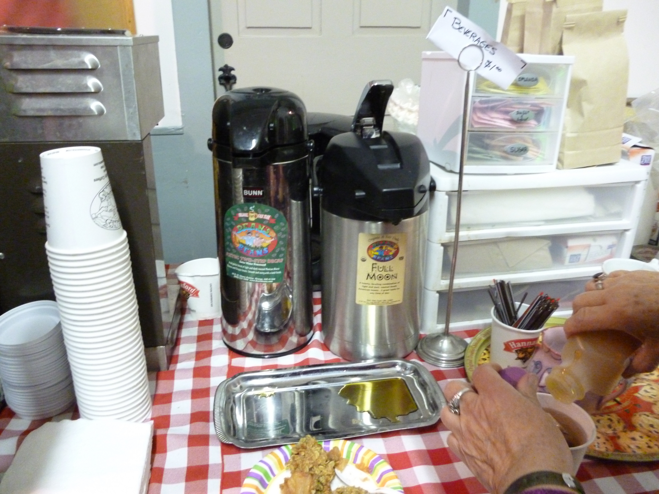
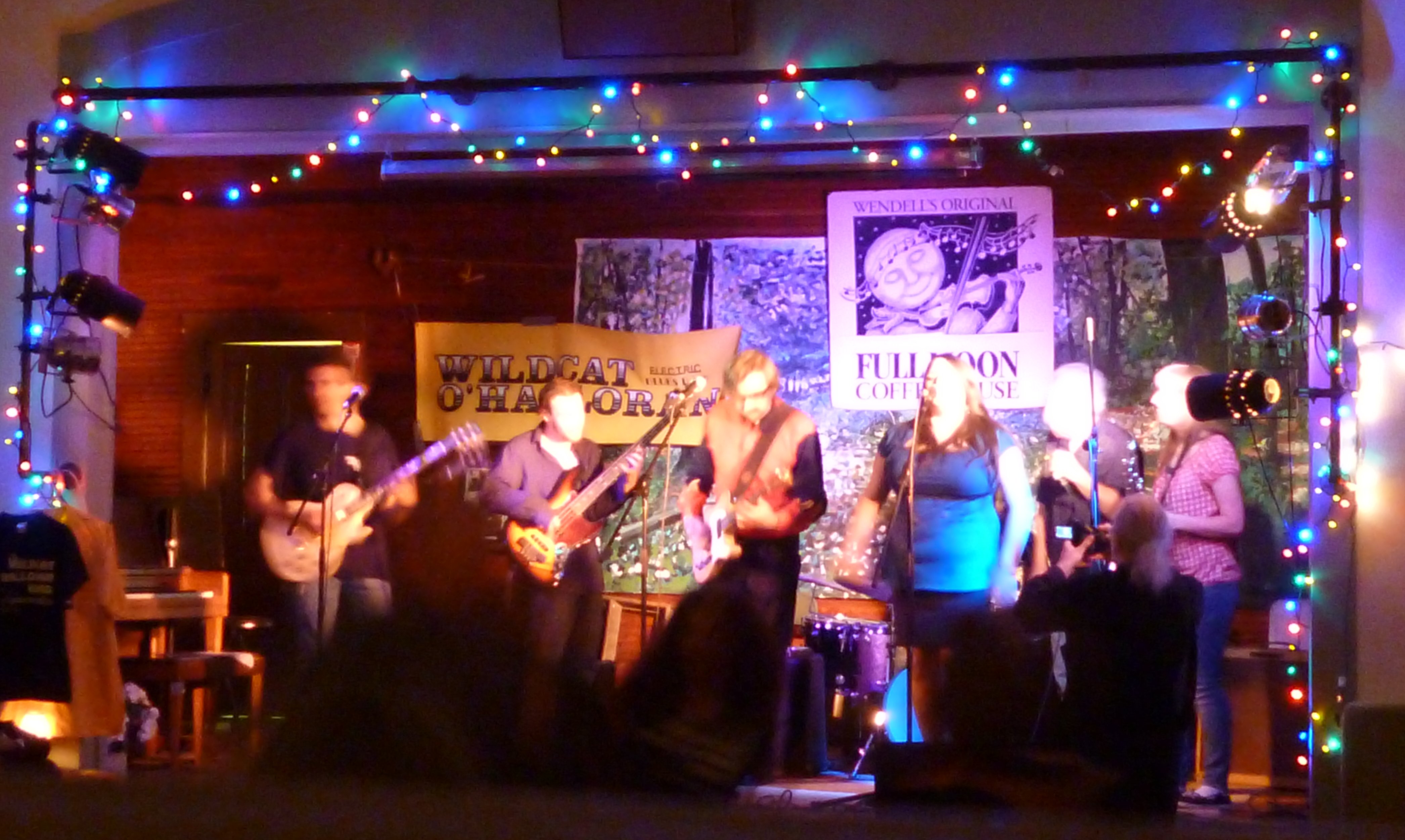
The Wendell Full Moon Coffeehouse is in the Wendell Town Hall, on 6 Center Street, next to the Police Station on the only one-way street in town.
- From the East via Route 2.
Take Route 2 West to Exit 16 ("Amherst/Belchertown – Route 202 (south)") (Wendell Center is 10 miles from this point.). Turn RIGHT off the ramp, onto Route 202 South. Travel for 5.1 miles on Route 202 South. SLOW DOWN as you pass the New Salem General Store on your RIGHT, and turn RIGHT at the blinking yellow light, and sign for "Wendell Center". This is Wendell Road. In about 2 miles, pass the SWIFT RIVER SCHOOL on your LEFT. Take FIRST LEFT just after the school, onto New Salem Road.
Follow this paved road with the solid yellow line all the way to Wendell Center — about 3 miles. The road is winding and narrow in parts. The final 1/2 mile ascends a hill.
Just before the crest of the hill, turn LEFT at "One Way" sign. You have arrived at Wendell Center and the Town Common. Straight ahead is the historic Wendell Town Hall which houses the Coffeehouse.
Alternate: Take Route 2 West past exit 14. You’ll pass an "Entering Wendell " sign, cross over the Millers River, pass another sign for entering Orange, and immediately after, another sign for entering Erving. Just after that, take a left turn exit where the sign says "East 2A, Orange, Wendell Next
Left". At the stop sign, turn left again onto 2A. Go approximately 0.25 miles and turn right onto Wendell Depot Road (sign says Wendell Center) and travel 4.7 miles to the center of Wendell. You have arrived. - From Greenfield and the West via Route 2.
Travel out of Greenfield via Route 2 East. Once you cross the French King
Bridge (Connecticut River), be on look out within 1/8th of a mile for exit
sign on right that says Route 63. Take this exit and stay on road until it
comes to a "T. " At the "T, " bear right following signs for Miller’s Falls/Amherst. Follow this road (bends 90 degrees to the left with a hundred yards or so) into the center of Millers Falls. At the Intersection, continue straight, up a short hill, over a short green bridge, and then bear left, following signs for Wendell and Wendell State Forest. Travel up this road (Montague Road) approximately 5 miles to a stop sign and the center of Wendell. You have arrived. - From the South via I-91.
Take I-91 North to Exit 24. At end of ramp, turn Right onto Routes 5-10. At next light (a couple of hundred yards), turn Right onto Route 116. Go approximately 2 miles, through one light, over bridge, to next light. Turn left at light onto Route 47 North. Take 47 to its end (approximately 4.5 miles). Rte. 47 makes a 90 degree right bend just before ending. At the stop sign and junction with Route 63, continue straight, crossing 63, and heading up North Leverett Road. Take approximately 9 miles, passing Lake Wyola State Park, entering into Wendell. About a quarter of a mile before the center of Town, you will pass the Wendell Country Store and Post Office on the right. At next intersection, you have arrived.
- From the North via I-91.
On I-91 South, follow signs for Route 2 East and Boston. This will be a left fork exit. After turning onto Route 2 East, follow directions explained above: "From Greenfield and the West via Route 2".
- From the Mass Turnpike
Follow signs for I-91. Take I-91 North, and follow directions in number three: From the South via I-91.
And for those that need a visual reference, here is a map.
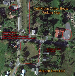 And here is what you can do with your car once you get there (click on image for full sized image):

